- Venntrilogie
- Pleasure-tours
- Walking with kids
- GR Long distance trails
- Cross border tours
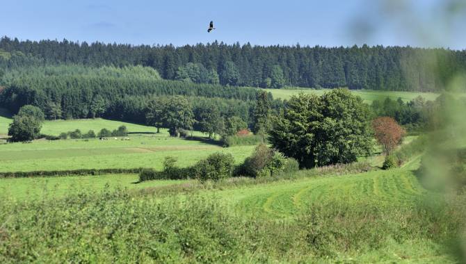
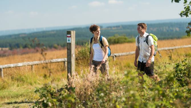
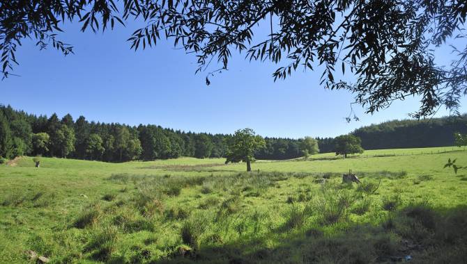
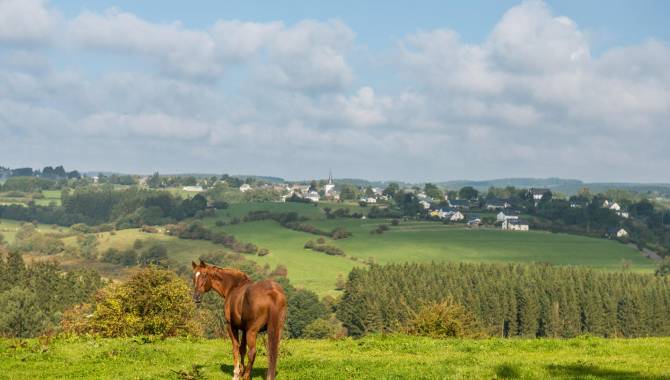
- Walking in the High Fens
- Hiking route planner
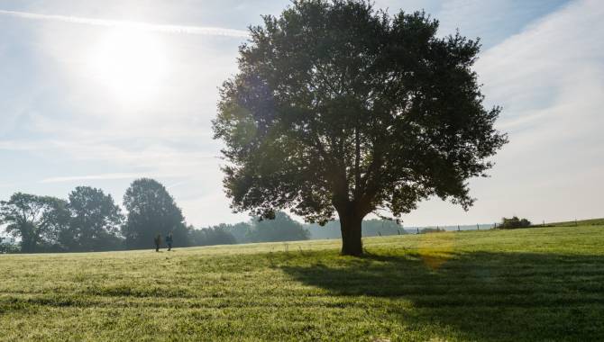
- Walking
- All walks
- Best of Wandern test centre
- Vennbahn
- Stoneman Arduenna
- Mountain-bike
- Ovelo itineraries
- the High Fens by bike
- Cycle route planner
- Cycling
- All cycling tours
- Racing bike
- Bike rental
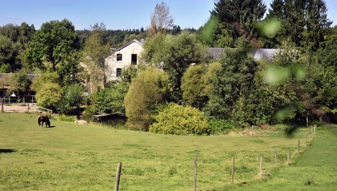
- Municipalities & Tourist infos
- Discover
- All activities
- Recommended tours
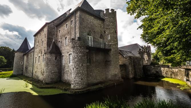
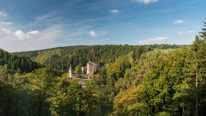
- Art & culture
- Sport and leisure activities
- Family excursions
- Regional products
- Typical East Belgium
- Virtual tours
- Wintersport
- Ski centres
- Snow report
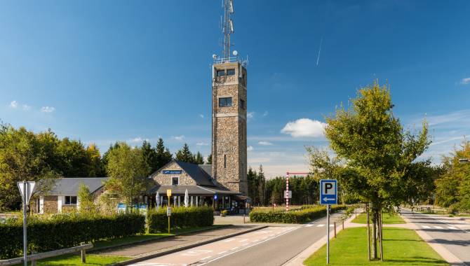
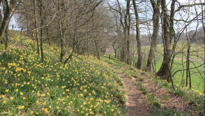
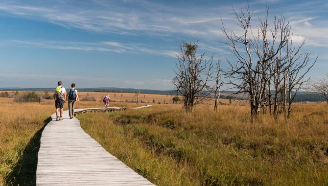
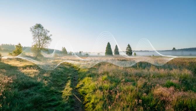
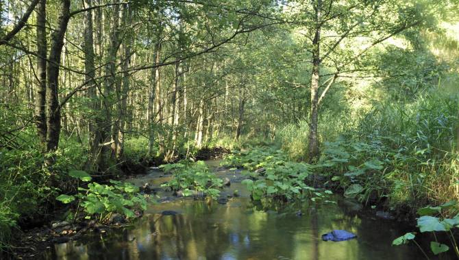
- The High Fens
- Things worth knowing
- Experience
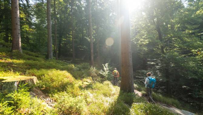
- Walking in the High Fens
- Cycling in the High Fens
- Stay