


On "GrenzRouten (border routes)" through East Belgium
Experience the landscape, the culture and the history of this region where the borders of three countries converge.
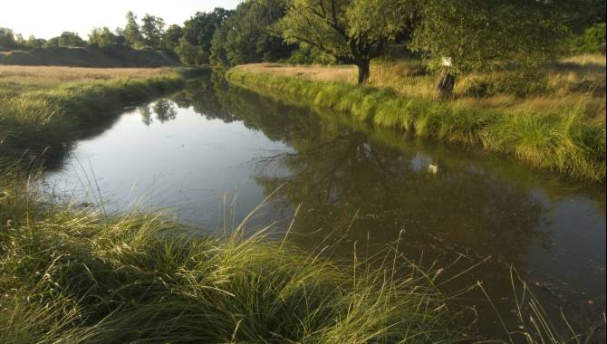
Through the expansive hedgerow landscape of East Belgium, along rows of gnarled beech trees on the historical landgraben, a former military trench, or through the charming Göhl valley – you can surpass yourself here!
The central axis of the GrenzRouten network brings together the natural contrasts and historical diversity of the region.

Cross-border tours :

GrenzRouten, ↔ 45.6 km
Think you know the region of the three borders between Germany, the Netherlands, and Belgium?
The Grenzrouten project offers hikes through stunning landscapes rich in history and culture.
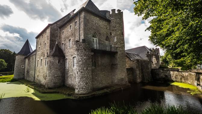
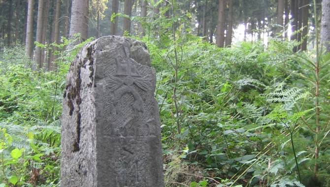
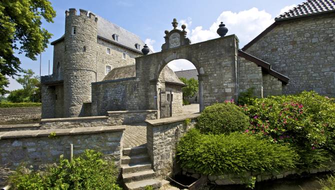
You've never experienced a region like this before: the cross-border routes offer a network of hiking trails which combines landscape attractions with cultural and historical sights. Marked by international signposting, these trails go through quiet woods, green meadowland and river valleys. They pass by Burgundy stones, the Siegfried Line, the landgraben ….
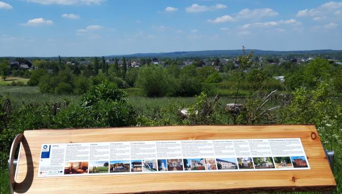
The information boards take you on a journey into the turbulent past of these historical places.
Infos : www.grenzrouten.eu

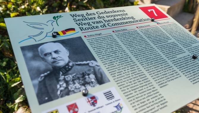
Route of Commemoration ↔ 96 km
A circular tour (marked in both directions) of historical battlegrounds
This loop route takes you to the notable places that were the scene of wartime events in the North Eifel. It largely follows existing hiking trails. A total of 30 text boards in four languages give an explanation of what happened here in the past. The paths and the historical events were selected in collaboration with historical experts from the various communities.

Via gulia, ↔ 53 km
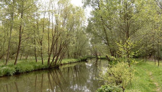
The Göhl valley route from its source to the Maas
The Göhl valley route - the Via Gulia has a length of about 53 km and can be walked in stages. A wondrous, mysterious stream flows in this beautiful valley.
On the edge of Aachen Forest, between Köpfchen and Lichtenbusch, at the border between Germany and Belgium, is the source of the Göhl. Soon, lots of small watercourses converge to form the fast-flowing Göhl, which meanders some 56 km through the Three Border area and the Pays de Herve (Land of Herve). You can walk through the Göhl valley from its source to the Maas, familiarising yourself with a border region which offers rich history, culture and diversity.


Test high-quality hiking gear for free!
It's not always easy to find the right hiking equipment. Hiking shoes and trekking poles, backpacks … How to find what is right for you? At the High Fens House for Tourism in East Belgium, you can test quality material from many different brands at your leisure and test it under real-life conditions. And it's completely free!
With the right equipment, experiencing fascinating landscapes in East Belgium is even more fun. In our test centre, travellers can obtain advice and test high quality outdoor equipment. This way, guests have options they've never even thought about before – for example hiking with trekking poles or renting a modern GPS device including tour software.
This initiative is provided as part of 'Best of Wandern', a network that has been joined not only by European hiking regions, but also by representatives of leisure sport, including manufacturers, tour operators and the retail trade.
Contact:
High Fens House for Tourism – East Belgium
Place Albert 1er 29a - 4960 Malmedy
T +32 80 33 02 50 - info@ostbelgien.eu


