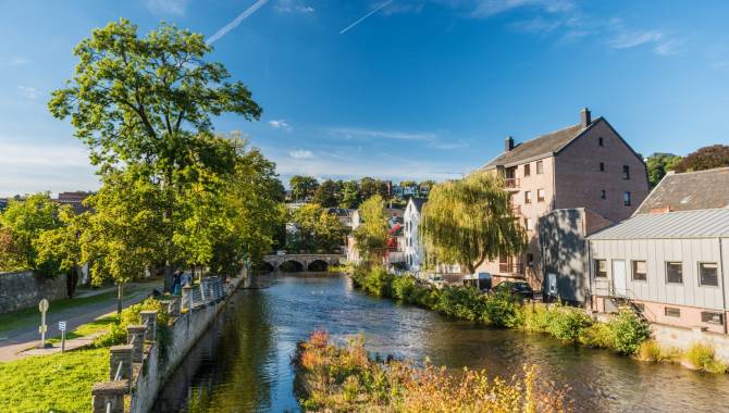
From Eynatten to Eupen
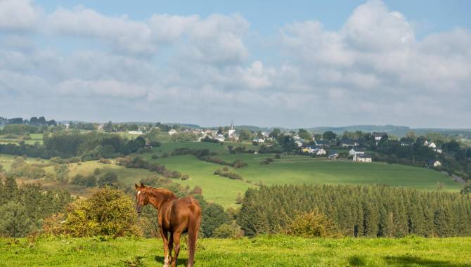
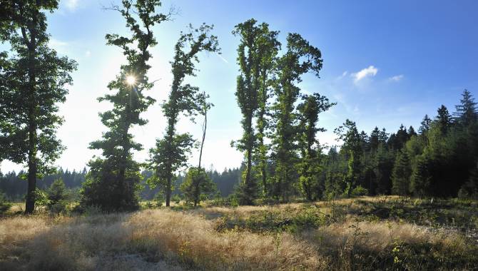
On the second stage of the Venntrilogie, enjoy a last glimpse at the landscapes in the north and get ready for what will come next… In just under 19 km, you walk between villages, across meadows and into the Hertogenwald before reaching the town of Eupen.
18,9 km
Distance
1/3
Difficulty
164 m
Uphill
165 m
Downhill
Useful information
Is the starting point accessible by public transport?
Yes, the bus stop « Eynatten Dorf » is served by bus lines to Eupen and Aachen.
Map
Download the official hiking guide of the Venntrilogie for free or get its paper version in the tourist information points in Eupen and Raeren or other spots along the trail.
Equipment
Hiking shoes, hiking clothes
Are dogs allowed?
Dogs are allowed on a leash.
Degree of difficulty
The difficulty of this stage is relatively low for hikers with a good fitness level. It does not present particularly technical sections. The stiles can be quite narrow and thus difficult to pass with big backpacks.
Elevation
164 m
165 m
Time needed
5-6 hours
From Eynatten to Eupen
The hidden paths of the potters


From Eynatten to Eupen
The hidden paths of the potters
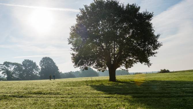
On leaving Eynatten, you walk on one of the many paths that were once used to walk from village to village and particularly to go to mass. Along the way, make sure to take a short break at the “carrot museum” before getting back to the meadows. The small brooks that cross the landscape here make it look especially idyllic. You’ll cross some more bridges and stiles before then reaching the pottery village Raeren. Walk in the footsteps of the potters of yesteryear while using the small paths between the houses and gardens.
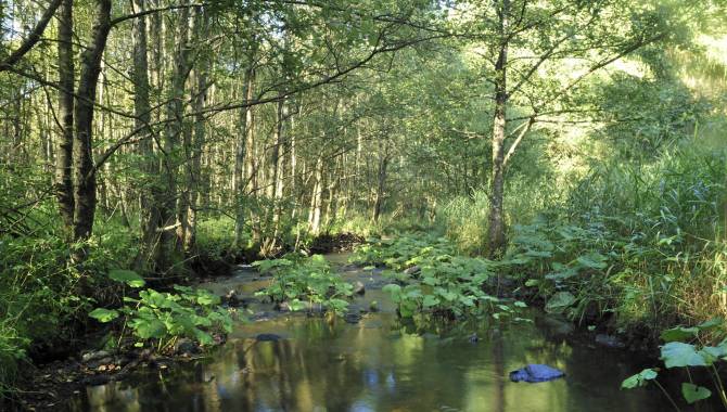
Through the Hertogenwald


Through the Hertogenwald
Between Raeren and Eupen the open landscapes transform into a dense forest, the Hertogenwald. Walk through the forest on relatively large paths and find railway lines as well as other evidence of the region’s cross-border transport.
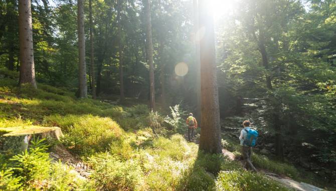
Reaching Eupen


Reaching Eupen
You enter the town of Eupen via its natural gateway in the east. The Venntrilogie will guide you through fields and residential areas to the heart of East Belgium’s capital city.

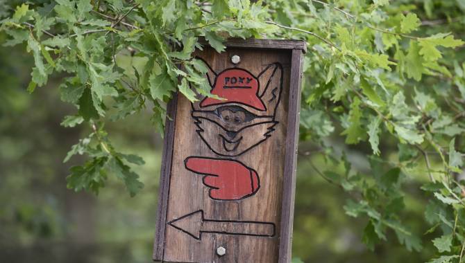
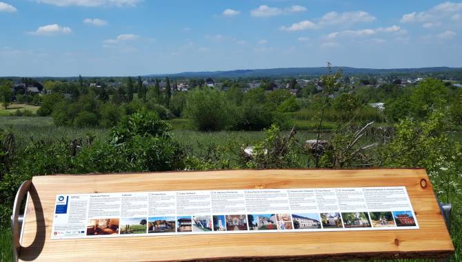
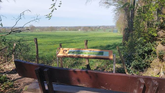
Signage on the Venntrilogie Trail
The Venntrilogie Trail has been carefully signposted in both directions by informative, easy-to-understand signs.
They’re situated at the main junctions and provide all the information you need. You'll also find more signs to guide you as you move along the trail.
- The colour of the signboard indicates the section of the VENNTRILOGIE. → green = The Northern Fens → brown = The High Fens → blue = The Southern Fens
- Direction arrow
- Distance from starting point / total length
- Walking direction → "▼S" : Signage direction south → "▲N" Signage direction north
- Waypoints → __▼__ = on the track → .....▼ = nearby
- Distance to the waypoint
- Available services at the waypoint
- Signage (junction nodes) to reach the waypoint & direction arrow

The Official Hiking Guide
On the VENNTRILOGIE trail, you'll discover East Belgium, a region where three cultures intersect.
Savour each moment, allow yourself to be carried away by this hike through nature and the legends and fates of imaginary and real heroes that are all part of the story of the region. Discover all the stories around these 6 exceptional stages in this official hiking guide.

Frequently asked questions
Any questions ? Our experts have the answers
If your question is not answered here, please do not hesitate to send us an email, we will be happy to help!
You can find the GPX track at the top of this page.
The Venntrilogie is also available on the outdoor-platforms Komoot and Outdooractive.
No, the Venntrilogie is signposted in both directions. The hiking guide will however describe the trail from the Three Border Point to Bütgenbach.
Dogs are allowed on 5 out of the 6 stages if they are on a leash. Their company is prohibited on the stage through the nature reserve of the High Fens from Grand Bongard to Botrange, but an alternative route is signposted in situ and allows dog-owners to be accompanied by their beloved pets (on a leash).
The trail is composed of many winding and uneven paths. Accordingly, we would advise not to take a pram on the hike. If you want to take children on your hike on the Venntrilogie, please make sure they have hiking experience and will be able to walk the planned distance. The East Belgium Tourist Agency offers several Kids on Tour-hiking tours that are adapted to the children’s needs: http://www.ostbelgien.eu/en/walking/walking-with-kids
Even if some parts of the Venntrilogie are accessible to cyclists, we strongly advise against cycling on the Venntrilogie, as the trail was developed for hikers. Cyclists will rather enjoy the Vennbahn cycling route or the extensive cycling route network. Further information on cycling routes: www.ostbelgien.eu/en/cycling
We advise you to inform your beloved ones when you will hike which part of the trail. Moreover, make sure to download the App 112 before starting your hike: https://www.112.be/fr/app. This app facilitates the contact with the first helpers and allows them to find your current location immediately. Two hospitals are in the vicinity of the Venntrilogie: the St. Nikolaus-Hospital Eupen and the Centre Hospitalier Reine Astrid in Malmedy. There are pharmacies in most cities and villages along the Venntrilogie trail.
No, there is not always phone signal available. The Venntrilogie leads through several spots such as the High Fens that lack phone signal coverage. Accordingly, we advise you to make sure that you also have access to important information offline.
Yes, absolutely. There are several camping sites along the trail that will enable you to hike the Venntrilogie stages and sleep in your tent on camp sites. Here is the list of the camping sites that are affiliated with the East Belgium Tourist Agency: https://www.ostbelgien.eu/en/stay/all-accomodation?theme=105
In the immediate vicinity of Eupen and the Venntrilogie, there is also the bivouac site Soor. All the information on the reservation can be found here: https://botrange.be/bivouacs/zone-c-la-soor/
Moreover, the platform www.welcometomygarden.be offers slow travellers the possibility to rent a private garden or land property.
Please note that wild camping is prohibited in Belgium.
There are shelters on all stages of the Venntrilogie.
Your comments are a great help in maintaining the quality of the Venntrilogie.
Should you want to get more involved, you can volunteer to help us maintain the trails. If you want to join our maintenance team, please contact us on venntrilogie@ostbelgien.eu.