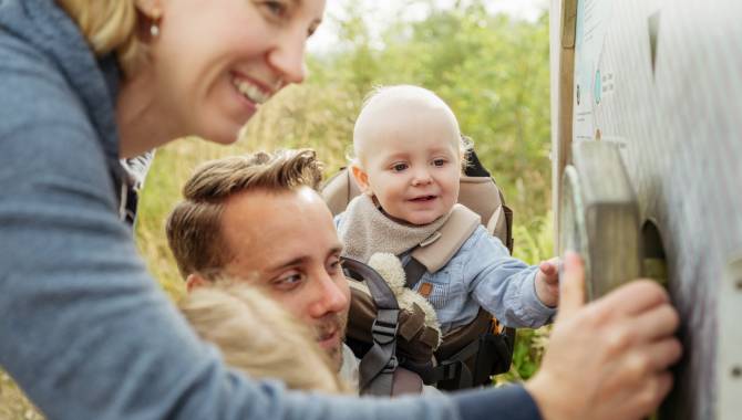
From Eupen to Signal de Botrange
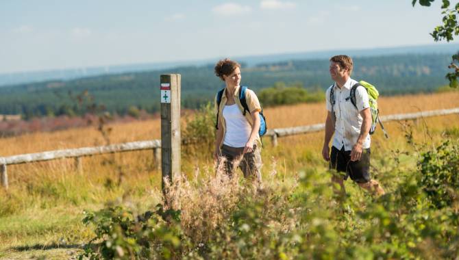
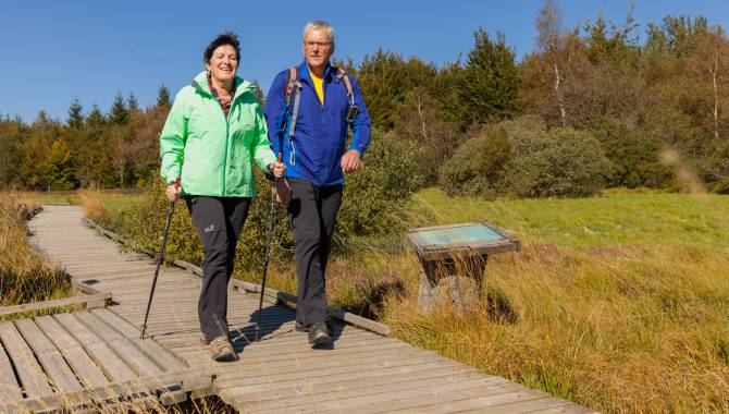
The longest stage of your adventure will make you hike up to the highest point of Belgium. The itinerary will show you the entire diversity of the High Fens, from the idyllic views in the Hill Valley to the vast arid landscapes of the Walloon Fens.
24,8 km
Distance
3/3
Difficulty
523 m
Uphill
102 m
Downhill
Useful information
Parking
Parking "Bergstraße" - Bergstraße 39, 4700 Eupen
Parking "Bahnhof" - Aachener Str. 99, 4700 Eupen
Is the starting point accessible by public transport?
Yes, the train station in Eupen is linked to the main train stations in Belgium as well as the train station in Aachen.
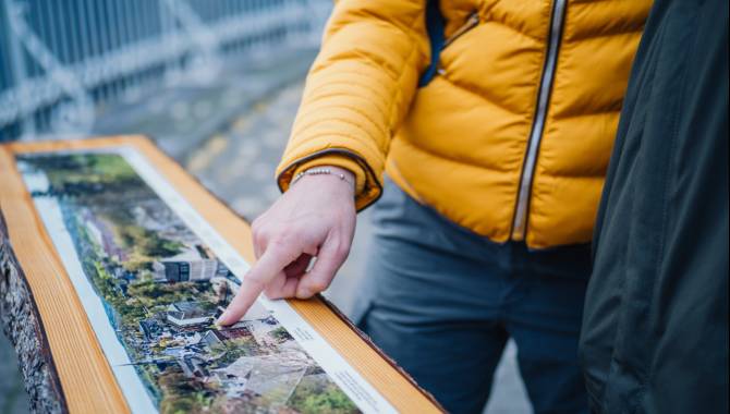
Map
Download the official hiking guide of the Venntrilogie for free or get its paper version in the tourist information points in Eupen and Botrange or other spots along the trail.
Equipment
Waterproof hiking shoes, hiking clothes. Perhaps hiking sticks. Offline maps. There is no possibility to get supplies after Ternell, so make sure to take enough water and some food for your walk to Botrange.
Degree of difficulty
Due to its length, this stage presents a challenge for most hikers. It does include some technical sections, where you have to walk on trails covered in roots and rocks. These call for a good fitness level and an increased concentration while walking.
Elevation
523 m
102 m
Time needed
7-9 hours
Are dogs allowed?
Partially. In the section between the Marie-Anne Libert bridge and Trois-Bornes, dogs aren’t allowed, even on a leash. An alternative itinerary to avoid this section of the nature reserve is signposted.
Here’s the alternative route
From Eupen to Signal de Botrange
From the upper town to "Schwarze Brücke"


From Eupen to Signal de Botrange
From the upper town to "Schwarze Brücke"
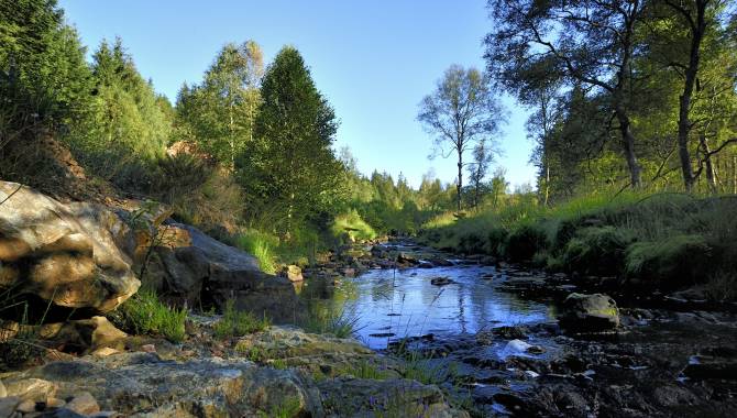
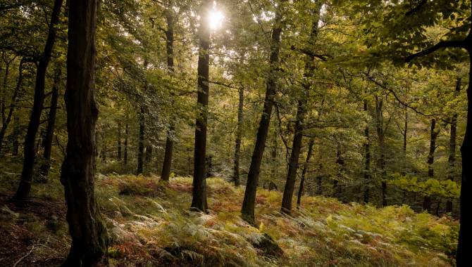
You start in Eupen, at the foot of the High Fens plateau. Upwards, you follow the water that’s coming down from the peat bog. The water from the Fens played a major role in the development of this town and its textile industry. Leaving the town, you reach the Schwarze Brücke (Black Bridge), where you also find a bivouac area.
The upper Hill valley


The upper Hill valley
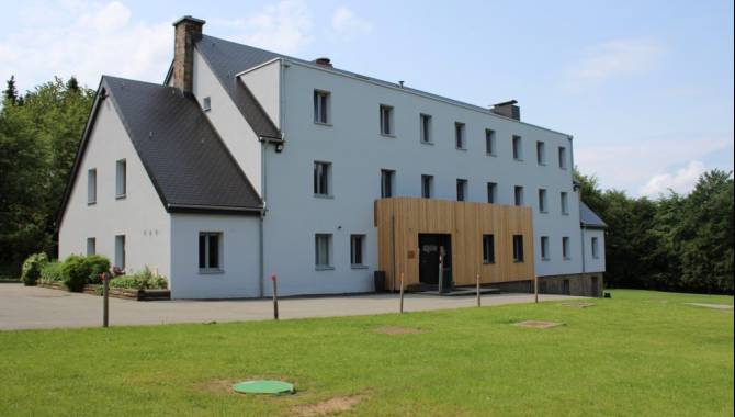
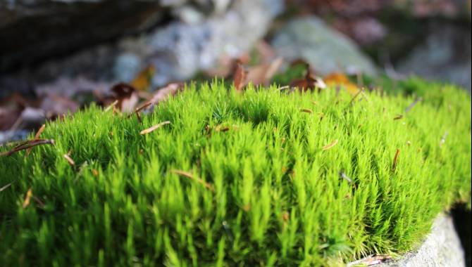
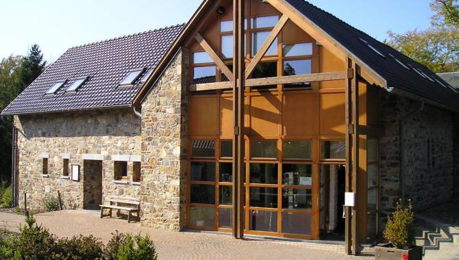
After crossing the bridge, you dive into nature. The landscape opens up to show the green plains of tall grass, typical of the High Fens. On your walk, you also come across impressive quartz rocks. If you want to take a break in a restaurant, or want to get more information on the High Fens, feel free to take a small detour to Haus Ternell. Along the banks of the River Hill, you'll slowly make your way out of the forest, using root paths and wider tracks...
The lower Hill valley


The lower Hill valley
Take a moment to admire the landscape at Grand Bogard. This is a big moment on your hike as it is here where you start the crossing of the Fens. Follow the wooden walkways and let the Hill guide you in your discovery of the High Fens in their purest and most vibrant form.
The peatland of the Fagne Wallonne


The peatland of the Fagne Wallonne
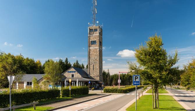
Once again, the landscape changes to give way to a 360° panoramic view of the immense peatland. Walk to the Signal de Botrange whilst enjoying the typical sights of this natural gem.

Signage on the Venntrilogie Trail
The Venntrilogie Trail has been carefully signposted in both directions by informative, easy-to-understand signs.
They’re situated at the main junctions and provide all the information you need. You'll also find more signs to guide you as you move along the trail.
- The colour of the signboard indicates the section of the VENNTRILOGIE. → green = The Northern Fens → brown = The High Fens → blue = The Southern Fens
- Direction arrow
- Distance from starting point / total length
- Walking direction → "▼S" : Signage direction south → "▲N" Signage direction north
- Waypoints → __▼__ = on the track → .....▼ = nearby
- Distance to the waypoint
- Available services at the waypoint
- Signage (junction nodes) to reach the waypoint & direction arrow

The Official Hiking Guide
On the VENNTRILOGIE trail, you'll discover East Belgium, a region where three cultures intersect.
Savour each moment, allow yourself to be carried away by this hike through nature and the legends and fates of imaginary and real heroes that are all part of the story of the region. Discover all the stories around these 6 exceptional stages in this official hiking guide.


Frequently asked questions
Any questions ? Our experts have the answers
If your question is not answered here, please do not hesitate to send us an email, we will be happy to help!
You can find the GPX track at the top of this page.
The Venntrilogie is also available on the outdoor-platforms Komoot and Outdooractive.
No, the Venntrilogie is signposted in both directions. The hiking guide will however describe the trail from the Three Border Point to Bütgenbach.
Dogs are allowed on 5 out of the 6 stages if they are on a leash. Their company is prohibited on the stage through the nature reserve of the High Fens from Grand Bongard to Botrange, but an alternative route is signposted in situ and allows dog-owners to be accompanied by their beloved pets (on a leash).
The trail is composed of many winding and uneven paths. Accordingly, we would advise not to take a pram on the hike. If you want to take children on your hike on the Venntrilogie, please make sure they have hiking experience and will be able to walk the planned distance. The East Belgium Tourist Agency offers several Kids on Tour-hiking tours that are adapted to the children’s needs: http://www.ostbelgien.eu/en/walking/walking-with-kids
Even if some parts of the Venntrilogie are accessible to cyclists, we strongly advise against cycling on the Venntrilogie, as the trail was developed for hikers. Cyclists will rather enjoy the Vennbahn cycling route or the extensive cycling route network. Further information on cycling routes: www.ostbelgien.eu/en/cycling
We advise you to inform your beloved ones when you will hike which part of the trail. Moreover, make sure to download the App 112 before starting your hike: https://www.112.be/fr/app. This app facilitates the contact with the first helpers and allows them to find your current location immediately. Two hospitals are in the vicinity of the Venntrilogie: the St. Nikolaus-Hospital Eupen and the Centre Hospitalier Reine Astrid in Malmedy. There are pharmacies in most cities and villages along the Venntrilogie trail.
No, there is not always phone signal available. The Venntrilogie leads through several spots such as the High Fens that lack phone signal coverage. Accordingly, we advise you to make sure that you also have access to important information offline.
Yes, absolutely. There are several camping sites along the trail that will enable you to hike the Venntrilogie stages and sleep in your tent on camp sites. Here is the list of the camping sites that are affiliated with the East Belgium Tourist Agency: https://www.ostbelgien.eu/en/stay/all-accomodation?theme=105
In the immediate vicinity of Eupen and the Venntrilogie, there is also the bivouac site Soor. All the information on the reservation can be found here: https://botrange.be/bivouacs/zone-c-la-soor/
Moreover, the platform www.welcometomygarden.be offers slow travellers the possibility to rent a private garden or land property.
Please note that wild camping is prohibited in Belgium.
There are shelters on all stages of the Venntrilogie.
Your comments are a great help in maintaining the quality of the Venntrilogie.
Should you want to get more involved, you can volunteer to help us maintain the trails. If you want to join our maintenance team, please contact us on venntrilogie@ostbelgien.eu.