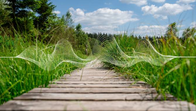
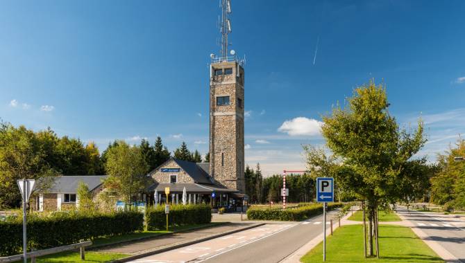
From Botrange to Malmedy
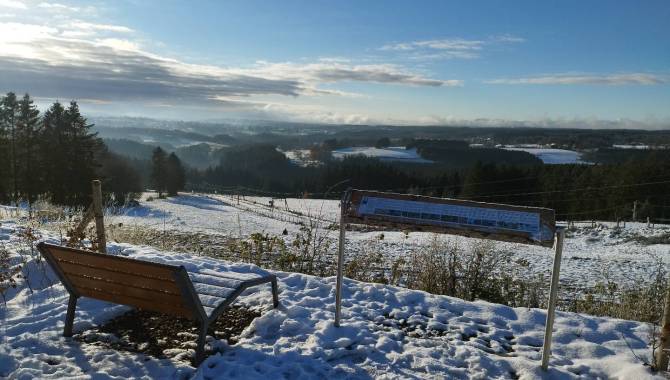
It’s time for the descent from Botrange, the highest point in Belgium, to Malmedy. Follow the torrents of the Fens and pass the many trees, rocks and spots that served as landmarks for locals and shepherds. On your way, you’ll see the sightseeing classics Cascade du Bayehon and Trôs-Marets
19,9 km
Distance
3/3
Difficulty
337 m
Uphill
672 m
Downhill
Useful information
Is the starting point accessible by public transport?
Yes, the bus stop at Signal de Botrange is served by lines to Eupen and Verviers.
Map
Download the official hiking guide of the Venntrilogie for free or get its paper version in the tourist information point in Eupen, the House for Tourism in Malmedy or other spots along the trail.
Equipment
Waterproof hiking shoes, hiking clothes. This stage has some particularly wet sections. Perhaps hiking sticks. Offline maps.
Are dogs allowed?
Dogs are allowed on a leash.
Degree of difficulty
This stage requires a good fitness level and is open to all exercised hikers. There are several technical difficulties that demand great agility along the way. The stage contains significant ascents and descents, especially in the section between Ferme Libert and Malmedy.
Elevation
337 m
672 m
Time needed
6-8 hours
From Botrange to Malmedy
Following the Ghastèr


From Botrange to Malmedy
Following the Ghastèr
There you are on the highest point of Belgium. Climb up the stairs, to be for one moment the highest standing person in Benelux! Then follow the gravel paths that will lead you to the High Fens Nature Parc Centre. What follows is an adventurous descent along the torrent Ghastèr to the Bayehon valley.
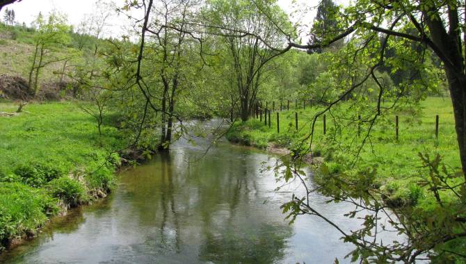
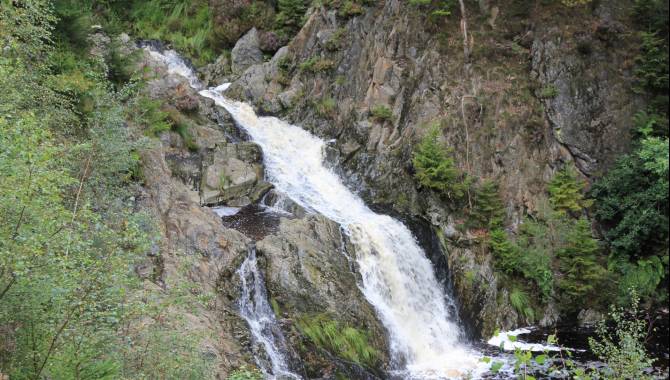
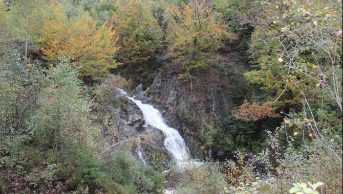
The Bayehon valley


The Bayehon valley
Follow the stream Bayehon to find and admire its famous waterfall. It is particularly attractive in spring and late autumn. Nature paths then guide you to the Fagne de Setay.
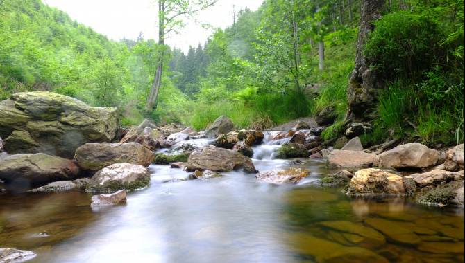
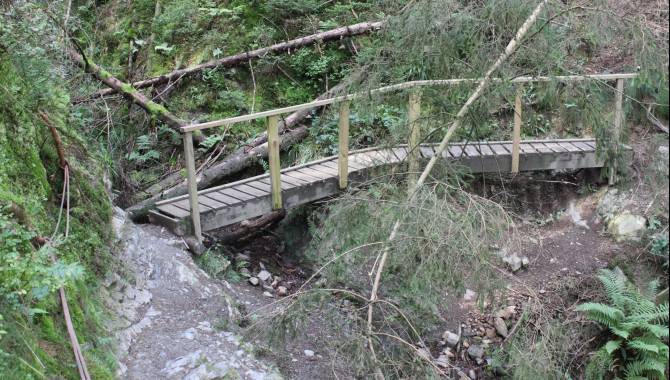
Walk in the land of the Négus and in the « canyon » of Trôs-Marets


Walk in the land of the Négus and in the « canyon » of Trôs-Marets
The next part of your way will make you explore a landscape that will remind you of the mountains. Throughout the years, the torrent « ru du Trôs-Marets » has dug a valley as well as a rocky path into the landscape. Walk on the rocks and wooden walkways along the water and cross the torrent here and there by using the wooden bridges.
Reaching Malmedy via the Butte Chaumont


Reaching Malmedy via the Butte Chaumont
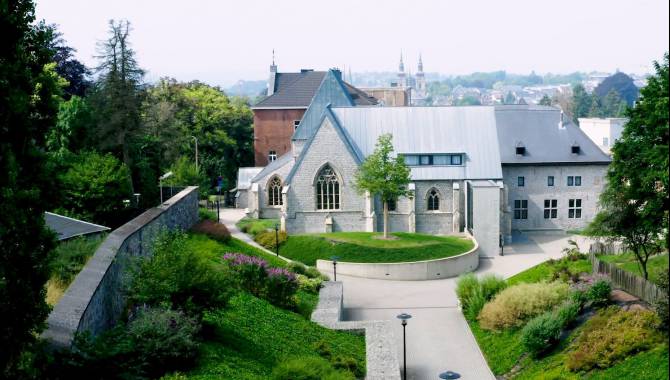
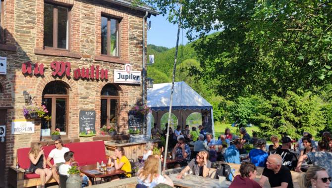
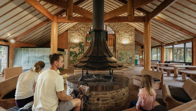
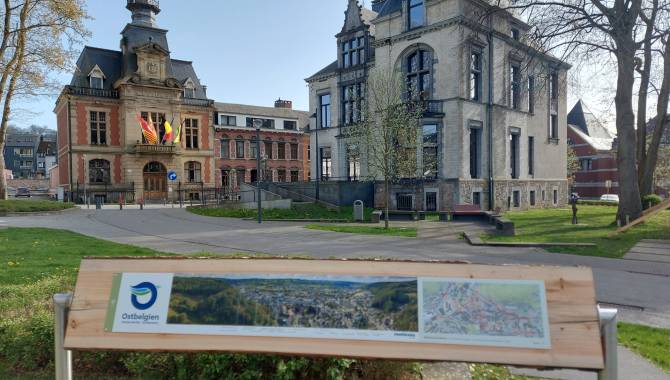
Once arrived at Ferme Libert, you can already see the cathedral of Malmedy. Nonetheless, the Venntrilogie still has a few challenges waiting for you before arriving there. While passing the chapel Saint-Antoine, you will have the opportunity to discover the forests of the Butte Chaumont before walking down to Malmedy. By passing the old bridge, you’ll get to the historical part of the town and enjoy the hospitality of the town’s centre.

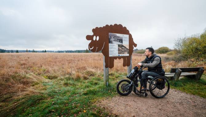
Signage on the Venntrilogie Trail
The Venntrilogie Trail has been carefully signposted in both directions by informative, easy-to-understand signs.
They’re situated at the main junctions and provide all the information you need. You'll also find more signs to guide you as you move along the trail.
- The colour of the signboard indicates the section of the VENNTRILOGIE. → green = The Northern Fens → brown = The High Fens → blue = The Southern Fens
- Direction arrow
- Distance from starting point / total length
- Walking direction → "▼S" : Signage direction south → "▲N" Signage direction north
- Waypoints → __▼__ = on the track → .....▼ = nearby
- Distance to the waypoint
- Available services at the waypoint
- Signage (junction nodes) to reach the waypoint & direction arrow

The Official Hiking Guide
On the VENNTRILOGIE trail, you'll discover East Belgium, a region where three cultures intersect.
Savour each moment, allow yourself to be carried away by this hike through nature and the legends and fates of imaginary and real heroes that are all part of the story of the region. Discover all the stories around these 6 exceptional stages in this official hiking guide.
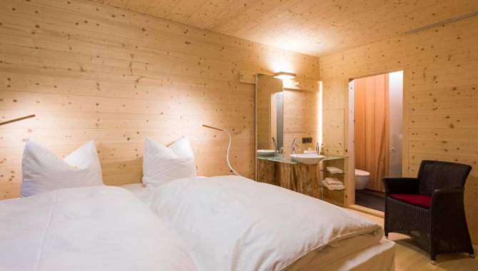
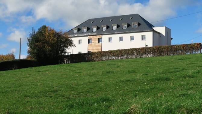
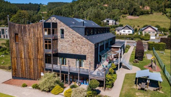
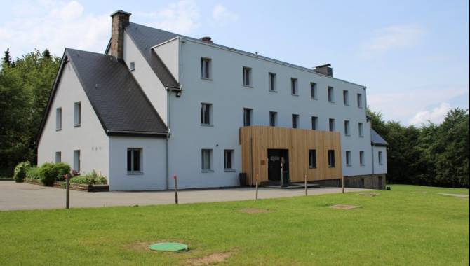
Nearby accommodation
Frequently asked questions
Any questions ? Our experts have the answers
If your question is not answered here, please do not hesitate to send us an email, we will be happy to help!
You can find the GPX track at the top of this page.
The Venntrilogie is also available on the outdoor-platforms Komoot and Outdooractive.
No, the Venntrilogie is signposted in both directions. The hiking guide will however describe the trail from the Three Border Point to Bütgenbach.
Dogs are allowed on 5 out of the 6 stages if they are on a leash. Their company is prohibited on the stage through the nature reserve of the High Fens from Grand Bongard to Botrange, but an alternative route is signposted in situ and allows dog-owners to be accompanied by their beloved pets (on a leash).
The trail is composed of many winding and uneven paths. Accordingly, we would advise not to take a pram on the hike. If you want to take children on your hike on the Venntrilogie, please make sure they have hiking experience and will be able to walk the planned distance. The East Belgium Tourist Agency offers several Kids on Tour-hiking tours that are adapted to the children’s needs: http://www.ostbelgien.eu/en/walking/walking-with-kids
Even if some parts of the Venntrilogie are accessible to cyclists, we strongly advise against cycling on the Venntrilogie, as the trail was developed for hikers. Cyclists will rather enjoy the Vennbahn cycling route or the extensive cycling route network. Further information on cycling routes: www.ostbelgien.eu/en/cycling
We advise you to inform your beloved ones when you will hike which part of the trail. Moreover, make sure to download the App 112 before starting your hike: https://www.112.be/fr/app. This app facilitates the contact with the first helpers and allows them to find your current location immediately. Two hospitals are in the vicinity of the Venntrilogie: the St. Nikolaus-Hospital Eupen and the Centre Hospitalier Reine Astrid in Malmedy. There are pharmacies in most cities and villages along the Venntrilogie trail.
No, there is not always phone signal available. The Venntrilogie leads through several spots such as the High Fens that lack phone signal coverage. Accordingly, we advise you to make sure that you also have access to important information offline.
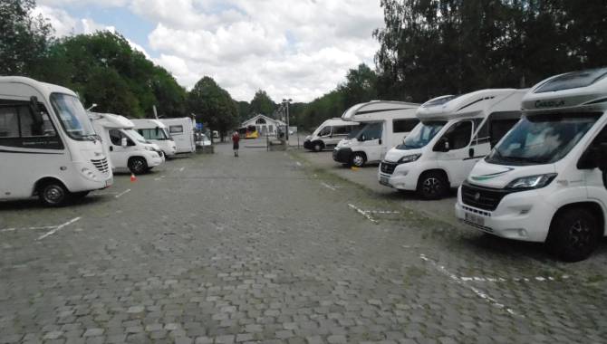
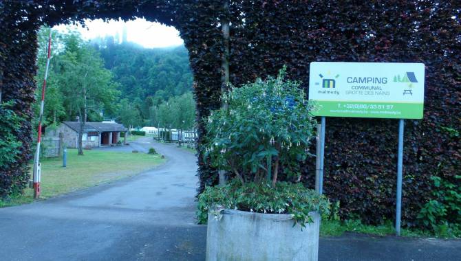
Yes, absolutely. There are several camping sites along the trail that will enable you to hike the Venntrilogie stages and sleep in your tent on camp sites. Here is the list of the camping sites that are affiliated with the East Belgium Tourist Agency: https://www.ostbelgien.eu/en/stay/all-accomodation?theme=105
In the immediate vicinity of Eupen and the Venntrilogie, there is also the bivouac site Soor. All the information on the reservation can be found here: https://botrange.be/bivouacs/zone-c-la-soor/
Moreover, the platform www.welcometomygarden.be offers slow travellers the possibility to rent a private garden or land property.
Please note that wild camping is prohibited in Belgium.
There are shelters on all stages of the Venntrilogie.
Your comments are a great help in maintaining the quality of the Venntrilogie.
Should you want to get more involved, you can volunteer to help us maintain the trails. If you want to join our maintenance team, please contact us on venntrilogie@ostbelgien.eu.