From Robertville to Butgenbach
To end nicely, the sixth and last stage of the Venntrilogie leads you through the pastoral landscapes between Robertville and Bütgenbach. See the Warche in all its facets whilst walking along the Lake of Robertville and then further up along the Warche.
11,9 km
Distance
1/3
Difficulty
216 m
Uphill
149 m
Downhill
Useful information
Is the starting point accessible by public transport?
Difficult. The bus stop Robertville, Barrage is served by lines to Malmedy and Butgenbach, but these lines do not ride on weekends and school holidays.
Map
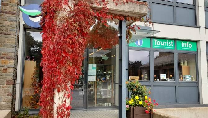
Download the official hiking guide of the Venntrilogie for free or get its paper version in the tourist information point in Bütgenbach, tourist information point in Robertville or other spots along the trail.
Equipment
Hiking shoes, hiking clothes
Are dogs allowed?
Dogs are allowed on a leash.
Degree of difficulty
This stage has a low degree of difficulty.
Elevation
216 m
149 m
Time needed
3,5-5 hours
From Robertville to Butgenbach
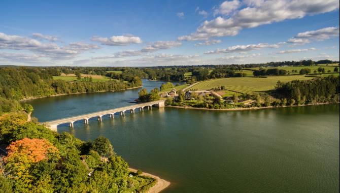
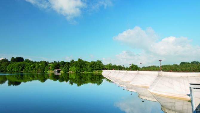
Lake of Robertville


From Robertville to Butgenbach
Lake of Robertville
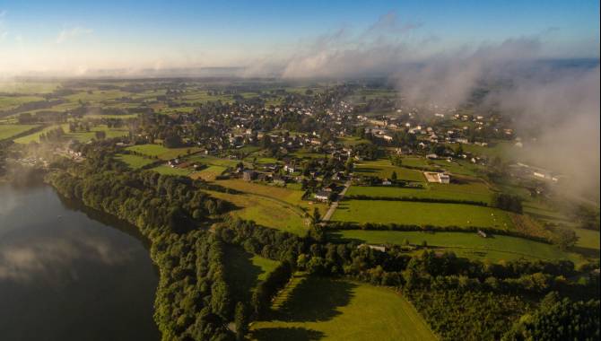
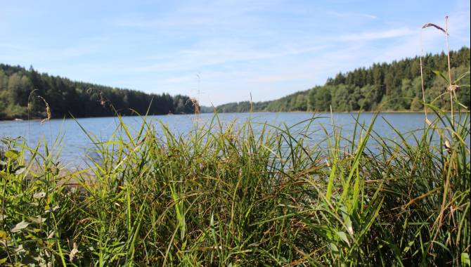
From the reservoir dam in Robertville, you’ll follow the southern shore of the lake. Experience the silence of the place and admire the almost Scandinavian landscape on a convenient walk.
Outrewarche and Weywertz


Outrewarche and Weywertz
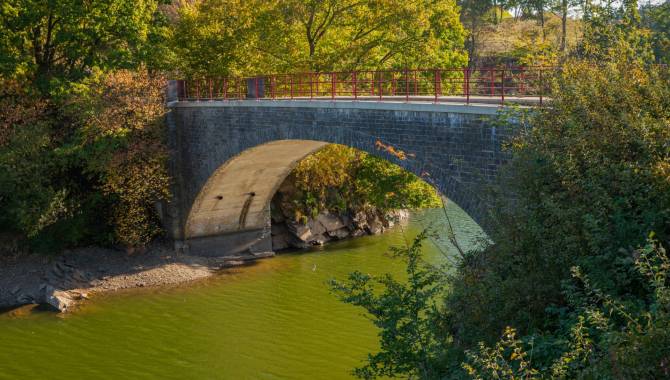
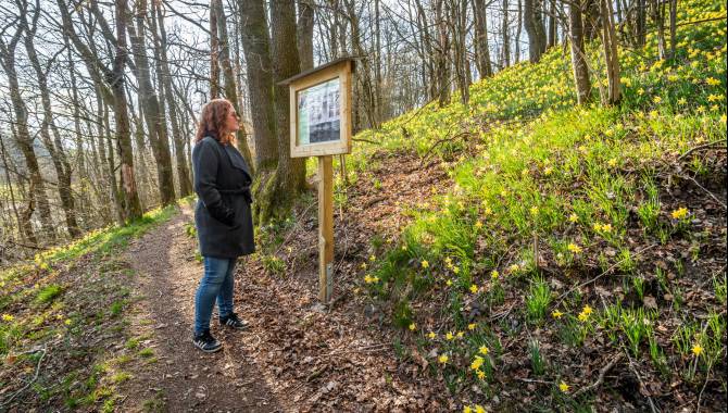
After leaving the lake behind you, you’ll see a more feisty Warche and walk along it on nice paths with occasional wooden walkways. Enjoy the beautiful forests and the lively banks of the Warche. At Weywertz, you’ll reach the Vennbahn.
Reaching the destination Bütgenbach


Reaching the destination Bütgenbach
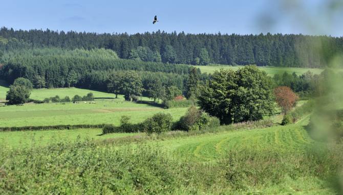
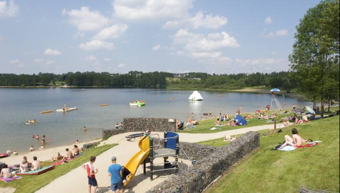
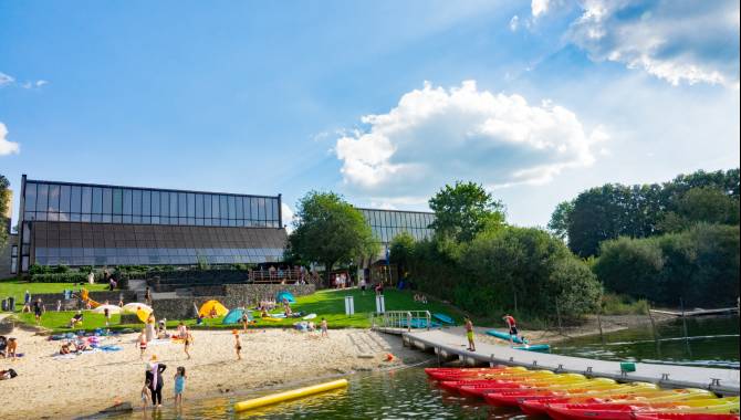
Your adventure ends as it started… For the very last part of your hike, the Venntrilogie leads you through the meadows towards Bütgenbach. You reach your destination in the village centre. What a trek! If the weather allows it, why not take a few additional steps to dip into the fresh water of the lake of Bütgenbach.
If not so, feel free to enjoy the excellent gastronomic offer of the village and enjoy your well deserved rest in one of the accommodations.

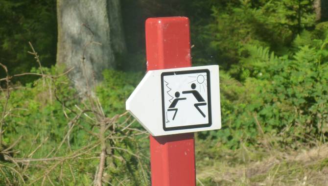
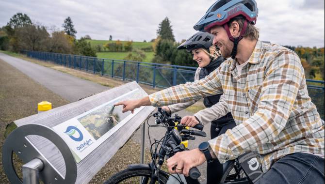
Signage on the Venntrilogie Trail
The Venntrilogie Trail has been carefully signposted in both directions by informative, easy-to-understand signs.
They’re situated at the main junctions and provide all the information you need. You'll also find more signs to guide you as you move along the trail.
- The colour of the signboard indicates the section of the VENNTRILOGIE. → green = The Northern Fens → brown = The High Fens → blue = The Southern Fens
- Direction arrow
- Distance from starting point / total length
- Walking direction → "▼S" : Signage direction south → "▲N" Signage direction north
- Waypoints → __▼__ = on the track → .....▼ = nearby
- Distance to the waypoint
- Available services at the waypoint
- Signage (junction nodes) to reach the waypoint & direction arrow

The Official Hiking Guide
On the VENNTRILOGIE trail, you'll discover East Belgium, a region where three cultures intersect.
Savour each moment, allow yourself to be carried away by this hike through nature and the legends and fates of imaginary and real heroes that are all part of the story of the region. Discover all the stories around these 6 exceptional stages in this official hiking guide.
Frequently asked questions
Any questions ? Our experts have the answers
If your question is not answered here, please do not hesitate to send us an email, we will be happy to help!
You can find the GPX track at the top of this page.
The Venntrilogie is also available on the outdoor-platforms Komoot and Outdooractive.
No, the Venntrilogie is signposted in both directions. The hiking guide will however describe the trail from the Three Border Point to Bütgenbach.
Dogs are allowed on 5 out of the 6 stages if they are on a leash. Their company is prohibited on the stage through the nature reserve of the High Fens from Grand Bongard to Botrange, but an alternative route is signposted in situ and allows dog-owners to be accompanied by their beloved pets (on a leash).
The trail is composed of many winding and uneven paths. Accordingly, we would advise not to take a pram on the hike. If you want to take children on your hike on the Venntrilogie, please make sure they have hiking experience and will be able to walk the planned distance. The East Belgium Tourist Agency offers several Kids on Tour-hiking tours that are adapted to the children’s needs: http://www.ostbelgien.eu/en/walking/walking-with-kids
Even if some parts of the Venntrilogie are accessible to cyclists, we strongly advise against cycling on the Venntrilogie, as the trail was developed for hikers. Cyclists will rather enjoy the Vennbahn cycling route or the extensive cycling route network. Further information on cycling routes: www.ostbelgien.eu/en/cycling
We advise you to inform your beloved ones when you will hike which part of the trail. Moreover, make sure to download the App 112 before starting your hike: https://www.112.be/fr/app. This app facilitates the contact with the first helpers and allows them to find your current location immediately. Two hospitals are in the vicinity of the Venntrilogie: the St. Nikolaus-Hospital Eupen and the Centre Hospitalier Reine Astrid in Malmedy. There are pharmacies in most cities and villages along the Venntrilogie trail.
No, there is not always phone signal available. The Venntrilogie leads through several spots such as the High Fens that lack phone signal coverage. Accordingly, we advise you to make sure that you also have access to important information offline.
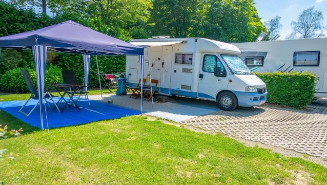
Yes, absolutely. There are several camping sites along the trail that will enable you to hike the Venntrilogie stages and sleep in your tent on camp sites. Here is the list of the camping sites that are affiliated with the East Belgium Tourist Agency: https://www.ostbelgien.eu/en/stay/all-accomodation?theme=105
In the immediate vicinity of Eupen and the Venntrilogie, there is also the bivouac site Soor. All the information on the reservation can be found here: https://botrange.be/bivouacs/zone-c-la-soor/
Moreover, the platform www.welcometomygarden.be offers slow travellers the possibility to rent a private garden or land property.
Please note that wild camping is prohibited in Belgium.
There are shelters on all stages of the Venntrilogie.
Your comments are a great help in maintaining the quality of the Venntrilogie.
Should you want to get more involved, you can volunteer to help us maintain the trails. If you want to join our maintenance team, please contact us on venntrilogie@ostbelgien.eu.