The East Belgium sightseeing routes

View all sightseeing routes and choose your circuit.
Nature, culture, enjoyment: East Belgium!
Fens and Lakes Route, Our Valley Route, Fortress Route — three themes, one destination. With this brochure, East Belgium invites you to discover three scenic circular tours, each well worth the journey in its own right. Each route follows a clear guiding theme: sometimes designed for nature-lovers, sometimes for those fascinated by water landscapes, and sometimes for admirers of the romance of medieval castles. Along the way, you will often encounter a church with a fascinating architectural history and valuable interior furnishings. Elsewhere, a short detour may end at a chapel in an enchanting, secluded setting out in the open countryside. Or the route may pass wayside crosses and small roadside shrines. The descriptions of each tour highlight these special features.
No risk of losing your way
As with any circular tour, the starting point also serves as destination. However, you can join the route at any location along the way. The tours are signposted clockwise. The dashed shortcuts shown on the road map, which divide the Our Valley Route and the Fens and Lakes Route into northern and southern loops, are signposted in both directions.
Hexagonal signs featuring the logo of each route help you stay on track. The signage is often in German, which is the native language across large parts of East Belgium. Where the route crosses the language border into French-speaking municipalities, the signs are written in French. The logo of each route, however, always remains the same.
Although the signage was revised in 2025, it may happen over time that a sign is missing. For this reason, this catalogue also includes a road map with the three detailed routes as well as an overview of the main points of interest along the way to help you find your bearings.
Small detours, big surprises
Speaking of which: not every place of interest lies directly on the route. Sometimes the detour is only a few hundred metres; sometimes it is a few kilometres. The route descriptions provide more details.
And one more thing: do not be surprised if the route occasionally leads from a well-developed national road onto narrower lanes. It is precisely on these quiet country roads that the unspoilt charm of East Belgium truly reveals itself.
Discover more diversity with every route
Anyone who travels all three routes will discover East Belgium in all its diversity. The tours showcase the scenic, cultural and culinary highlights of the border region, including the Belgian Eifel, the High Fens, and the Eupen region.
It is therefore well worth returning to explore another route — or better still, stay longer and enjoy East Belgium tour by tour. Have a pleasant journey!
Active breaks
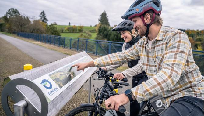
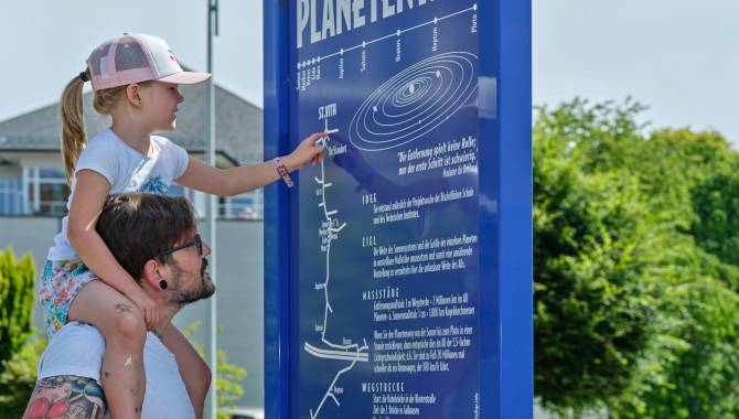
If you would like to stretch your legs during the tours, keep an eye out for the green pictograms with footprints. In various towns and villages, educational trails and circular walks offer the opportunity to explore the region actively and learn more about its landscape and its people.
Accessible travel through East Belgium
In the future, East Belgium aims to provide more detailed information about which attractions are accessible for people with disabilities. In the catalogue "Ostbelgien Routen/Routes à travers les Cantons de l'Est", the first officially Access-i certified leisure facilities have already been marked as such. Further ones will follow in the future.
On the organisation’s website (www.access-i.be), you will find a list of strengths and weaknesses for each inspected facility, according to different types of disability. A continuously updated overview of tourist attractions in East Belgium that have been assessed is also available on this website.
Cinema for the ears
The “Lauschtour” audio guides offer an engaging listening experience — not only for visitors with visual impairments. With the free “Lauschtour” app, you can enjoy a true “cinema for the ears”. Simply download the app to your smartphone using the QR code and start exploring.
Three circular tours, each with eleven stops, lead through the southern part of East Belgium. The sights can also be discovered as part of the Our Valley Route and the Fens and Lakes Route, as the audio tracks can be listened to individually.
A note for cyclists
For a more relaxed ride with less traffic, we recommend the shortened versions of the Our Valley Route (82.5 km) and the Fens and Lakes Route (94 km), marked in pink on the accompanying road map.
The tour guide
With the 'East Belgium Tours' catalogue, the East Belgium Tourist Agency invites you to go on three circuit tours, each of which is worth a journey in its own right. The publication is available free and provides information about three signposted theme tours through the Eifel-Ardennes region, the High Fens and the country around Eupen.
>> download the tour guide for free (only available in german, french & dutch)
The Our valley route

Down in the deep south there's a river that gurgles
The Our valley route, some 100 kilometres in length, first whisks you away into the heart of the East Belgian Eifel and then off into an unspoiled river valley down in the deep south of East Belgium. You're well away from it all in these majestic woods along the route. Twists and bends in the river slow your travel down. Relaxing, you drop down a gear. There are lively villages and picturesque farms waiting to be discovered.
It's a lovely route to follow. At some places along the bank, Germany is just a stone's throw away across the Our, which gurgles contentedly on its way. Right down in the south, the route runs for a few kilometres through the Grand Duchy of Luxembourg. Yet the transition is just as fluent as the Our itself, which doesn't allow itself to be impeded on its course across national borders. And that also applies to neighbourhood relations in the East Belgian border country.
The exchange among neighbours has more influence on everyday life today than the border itself, for the defence of which in former times fortresses such as the mediaeval Burg Reuland were built. It's not for no reason that the modern culture, conference and exhibition centre in St. Vith, the largest town on the Our valley route, bears the name 'Triangel'. That name says it all.
Another tip – short cut possible
It's possible to take a short cut between Setz and St. Vith. This divides the tour up into a north and a south loop. Both for the route as a whole and for either loop, St. Vith is recommended as the ideal starting point.

We stayed in St. Vith, where as a tourist you find yourself trying to work out whether you're actually on holiday or have somehow wandered into a brochure for Very Quiet Places for People Who Mean It. The town is rather charming: a lovely park with more tree species than we have names for, a castle, archaeological excavations, and WWII information boards absolutely everywhere. By board number twelve, we'd spontaneously started walking more slowly — as though we'd somehow become part of a historical re-enactment ourselves. (…)
Being the ambitious types who wanted to "explore the entire region", we naturally opted for the famous Our Valley Route: a signposted tourist trail marked with distinctive hexagonal signs. (…)
Along the way we took in stunning landscapes (…).
We passed charming wayside chapels and lovely village churches, including St Vitus and St Wendelin, both featuring remarkable wood carvings — which had us wondering just how much patience a person needs to produce something like that without having a complete nervous breakdown halfway through.
We also paid a visit to the Zwischen Venn und Schneifel history museum: historical artefacts, old documents, and almost certainly at least one display case whose contents nobody can quite identify, yet everyone peers at with great concentration regardless.
The vast forests were breathtakingly quiet. So quiet, in fact, that we suddenly heard our own stomachs rumbling; which was the moment we realised that tourism is essentially just walking between meals.
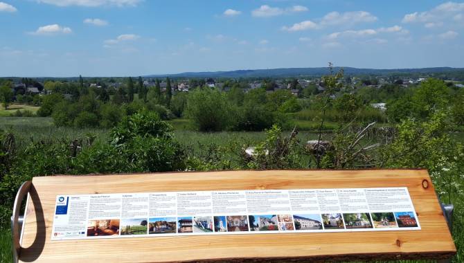
In Medell we took our time to enjoy the sweeping panorama (…).
We were genuinely struck by the fact that places this beautiful still exist in Belgium. Less than 250 kilometres from Brussels, you can find a landscape where stress simply hands in its notice and leaves.
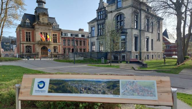
Something else that stands out: the towns and municipalities of East Belgium go to remarkable lengths to keep visitors well informed. Walkers, cyclists, nature lovers: everyone is thoroughly looked after here. (…)
We rounded off our Our Valley Route with a visit to the Three border point: a symbolic spot where you half expect Europe herself to materialise and welcome you in person.
In short: two days are far too short for this wonderfully green region. A return visit is already in the diary… Though next time we might bring a larger memory card for the photos.
Thank you, East Belgium — and thank you to the hexagonal signs that pointed us (mostly) in the right direction!
Herman De Knijf (amateur photographer and blogger)
(Translated from the Dutch original)
Fens-and-lakes route

Nature in widescreen format
With a length of 150 kilometres, the fens-and-lakes route is the longest of the three motor tours. Yet you can manage it without any stress at all. The start is in the French-speaking town of Malmedy. This lively little town smartened up its tidy centre just very recently. Hautes Fagnes is the name of this surreal vastness with its resilient peat surfaces, dark ponds, moors and slender birchwoods to the north of Malmedy. And a few kilometres further on, you find you've crossed the language border.
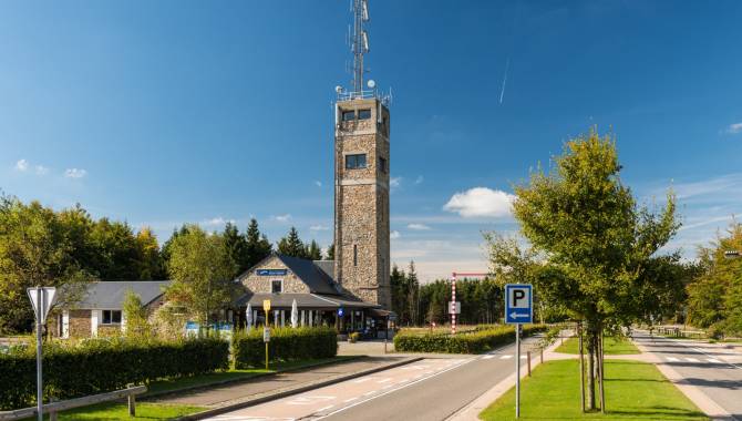
South-east of Eupen, the principal town in East Belgium's German-speaking community, this unique biotope is known as the High Fens. On both sides of the language border there is a carpet of moor grass, rushes and bluish-purple heather as far as the eye can see. On no other route through East Belgium is this vastness more noticeable than on the archaically beautiful plateau of the High Fens. And talking of plateau: at 694 metres, the Signal de Botrange, halfway between Malmedy and Eupen, is not only the highest point in the High Fens, but also the highest point in the whole country.
Another tip – short cut possible
You then continue a little way across the border, this time on a visit to the eastern neighbour Germany near Kalterherberg. Further south, reservoirs like those at Robertville and Bütgenbach invite you to take a rest at the waterside. And anyone who finds that he or she has taken a liking to it can simply come back at the end of the route – to bathe, paddle about or just enjoy doing nothing. A few more little detours, a few more enchanted villages, and then you recross the language border: soon after that, you're back in Malmedy.
Between Sourbrodt and Mont the route can be cut short, or divided into two stages of about the same length, a north loop and a south loop.
I really enjoyed the route: it teaches you that the most direct path may be the quickest, but it certainly isn't the most beautiful. (...) My wife and I were very happy to take our time and soak up the scenery. We finally got round to seeing one or two sights we'd always known about but never actually visited, thanks to the list in the guide. We'll definitely be tackling the other two routes before long. It left us well and truly wanting more.
A. Hinck, Hauset
Translated from the German original
The fortress route

Three borders, lots of fortresses, manor houses and castles
The fortress route takes you almost right up to the gates of Aachen. Just like the Our valley route in the south, this circuit also goes through an area where the borders of three countries converge. The symbol of this 79-kilometre route is three boundary stones. Depending on the language area you're in, the signposting changes from the German 'Burgenroute' to the French 'route des châteaux', or signposting in words may have been dispensed with completely, just sticking to the symbol instead.
Four large municipalities, a spectacular railway bridge, chapels, panoramic views out over the charming landscape of the border country, but above all over two dozen fortresses, manor houses and castles line this route. There are also a number of other ruins worth seeing, a little way off the route. In the shadows they cast, East Belgium, the Netherlands and, on the German side, the country around Aachen snuggle close together. A First World War memorial or a military cemetery reminds you that the neighbourhood has not always been peaceful. But that's all over. These fortresses haven't served a defensive purpose for a long time now.
Each detour a surprise
From fortified towers with embrasures, known as keeps, comfortable, airy castles were built as early as the 17th and 18th centuries. Today, they are put to various different uses. In some cases the property is a residence, in others a museum or a youth centre. But the agglomeration of these mighty walls remains a cultural asset that draws visitors from all parts of the border country. Many stately homes are privately owned and can only be visited on the outside. But it's worth coming to see them just for the magical sight of those towers, oriels and moats.
The fortress route in particular is full of surprising discoveries, and that is particularly true a little way off the route. A brief detour, just a few hundred metres or sometimes a few kilometres, and there you are again, looking at a jewel of architecture. A glance at the description of the tour and the map that goes with it helps to find the right route.