


Your tailor-made Venntrilogie
The Venntrilogie in 3 days with a maximum of 20 km/day
Based on the preferences and interests you indicated in the questionnaire, we propose the following programme. Get ready for an unforgettable journey on the Venntrilogie, the premium long-distance hiking trail in East Belgium, specially designed for you.
Welcome to the Venntrilogie Trail in the heart of Europe. We wish you an excellent hike!
Useful Informationen
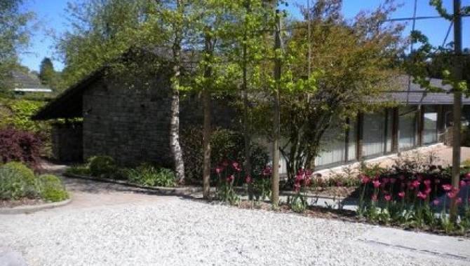
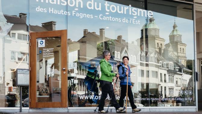
Parking
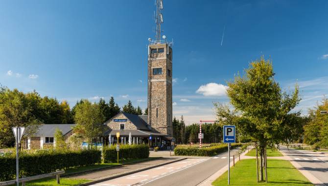
Start:
Is the starting point accessible by public transport?
Start : Yes, the bus stop at Signal de Botrange is served by lines to Eupen and Verviers.
Back to the starting point: From the Butgenbach Kreuzung stop, take line E23 to Signal de Botrange.
Google Maps : https://maps.app.goo.gl/BSbTUvrm97sUGpNV8
→ All updated information about the bus connections on www.letec.be
Are dogs allowed?
Dogs are allowed on a leash.
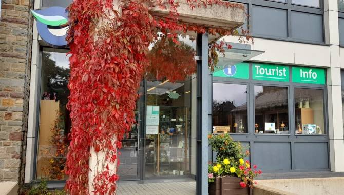
Download the official hiking guide of the Venntrilogie for free or get its paper version in all tourist information points spots along the trail.
Your programme consists of 3 stages:
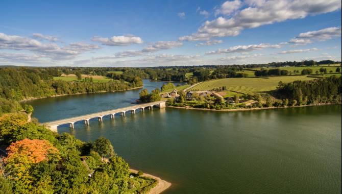
The High Fens

The High Fens
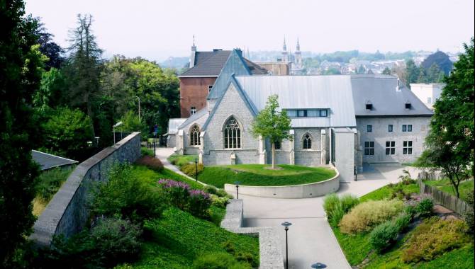
Stage 4 : Botrange Malmedy
It’s time for the descent from Botrange, the highest point in Belgium, to Malmedy. Follow the torrents of the Fens and pass the many trees, rocks and spots that served as landmarks for locals and shepherds. On your way, you’ll see the sightseeing classics Cascade du Bayehon and Trôs-Marets.

The Southern Fens

The Southern Fens
Stage 5 : Malmedy Robertville
The fifth stage of your adventure will make you climb out of Malmedy and then cross the Warche valley. Enjoy the breathtaking views on the romantic valley and walk on its rocky edges. You’ll also pass in front of the famous Reinhardstein Castle.


The Southern Fens
Stage 6 : Robertville Butgenbach
To end nicely, the sixth and last stage of the Venntrilogie leads you through the pastoral landscapes between Robertville and Bütgenbach. See the Warche in all its facets whilst walking along the Lake of Robertville and then further up along the Warche.

You are on the road at least 3 days.
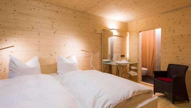
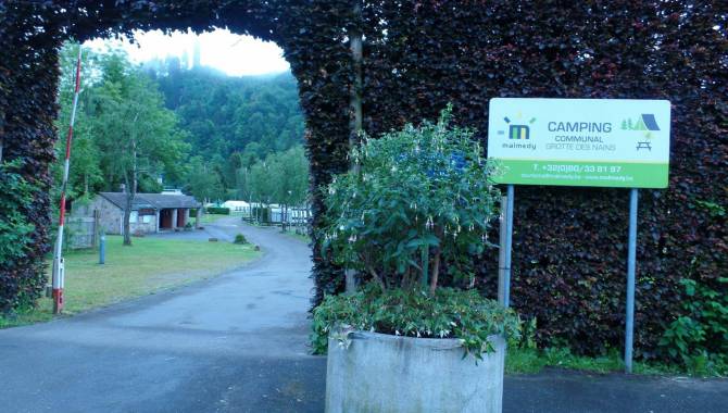
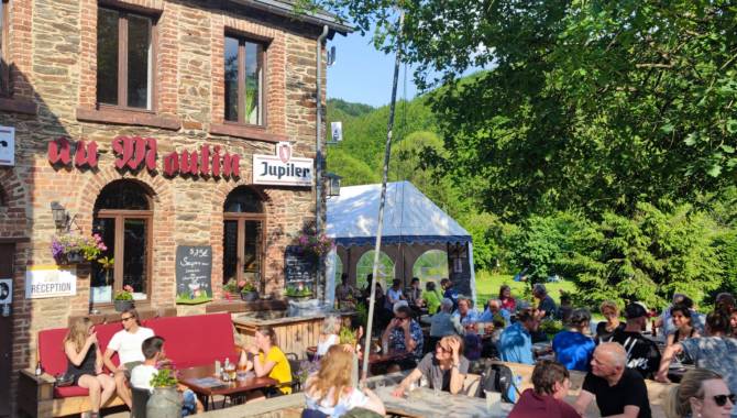
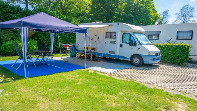
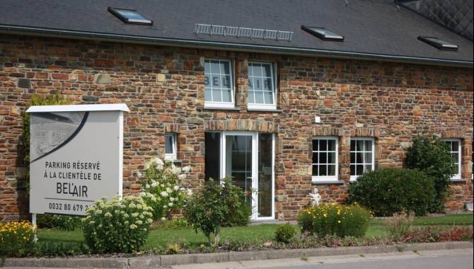
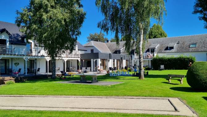
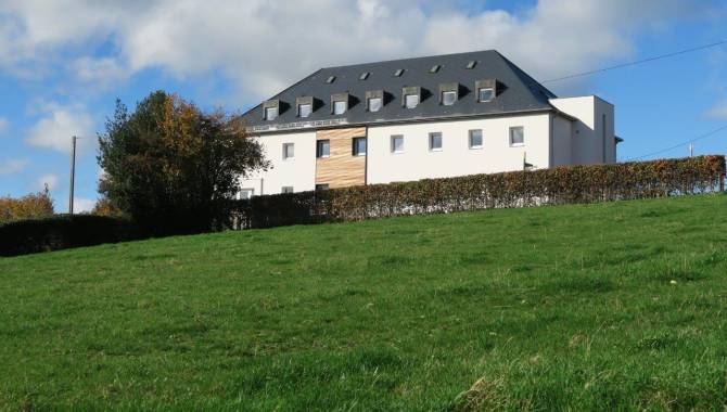
Book your accommodation with one of our Venntrilogie partners.
Our Venntrilogie partners offer hikers the best possible welcome. They adhere to certain standards and offer a number of special services*, such as:
○ A room for drying hiking boots and clothing;
○ Supply of the official documentation of the Venntrilogie;
○ The possibility to take a picnic with you on your way.
And in general, special care for the needs of hikers.
* with the exception of campsites and car parks for motorhomes.
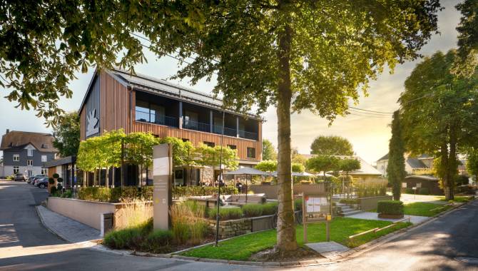
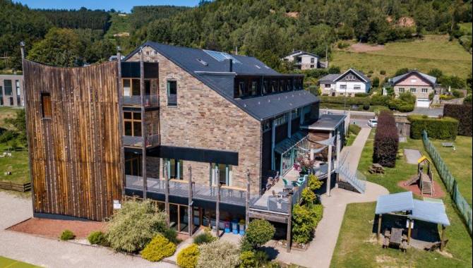
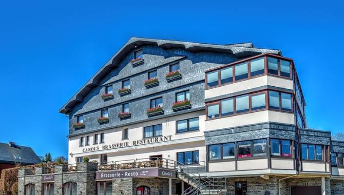
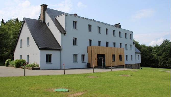
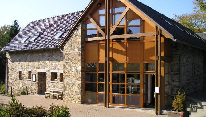
Accommodation and restaurant on your route
Find your way. At any time, any place.

Signage on the Venntrilogie Trail
The Venntrilogie Trail has been carefully signposted in both directions by informative, easy-tounderstand signs.
They’re situated at the main junctions and provide all the information you need. You'll also find more signs to guide you as you move along the trail.
- The colour of the signboard indicates the section of the VENNTRILOGIE. → green = The Fens Foothills North → brown = The High Fens → blue = The Southern Fens
- Direction arrow
- Distance from starting point / total length
- Walking direction → "▼S" : Signage direction south → "▲N" Signage direction north
- Interim destinations → __▼__ = on the track → .....▼ = nearby
- Distance to the interim destination
- Available services at the intermediate destination
- Signage (nodal points) to reach the intermediate destination & direction arrow
Did you get all the information you were looking for?
No? Then take a look at our frequently asked questions about Venntrilogie or contact us with your special request by e-mail

The Official Hiking Guide
Let yourself be guided by the official Venntrilogie hiking guide. Available free of charge at all tourist information offices along the trail.
On the VENNTRILOGIE trail, you'll discover East Belgium, a region where three cultures intersect.
Savour each moment, allow yourself to be carried away by this hike through nature and the legends and fates of imaginary and real heroes that are all part of the story of the region. Discover all the stories around these 6 exceptional stages in this official hiking guide.
Welcome to the Venntrilogie Trail in the vibrant garden of Europe. We wish you an enjoyable hike. Make the most of your adventure!