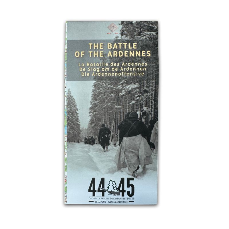
The Battle of the Ardennes - 1:200,000
5,00 €
December 1944, in the heart of the Ardennes. While Belgium and the Allied troops are preparing to celebrate Christmas and the end of the Second World War, German forces under General von Rundstedt launch a massive and surprise counter-offensive in the Ardennes.
To commemorate this terrible battle, its various phases, and its many victims, the GEIE Destination Ardenne has partnered with the National Geographic Institute (NGI) of Belgium to reissue a map enriched with an inexhaustible wealth of information.
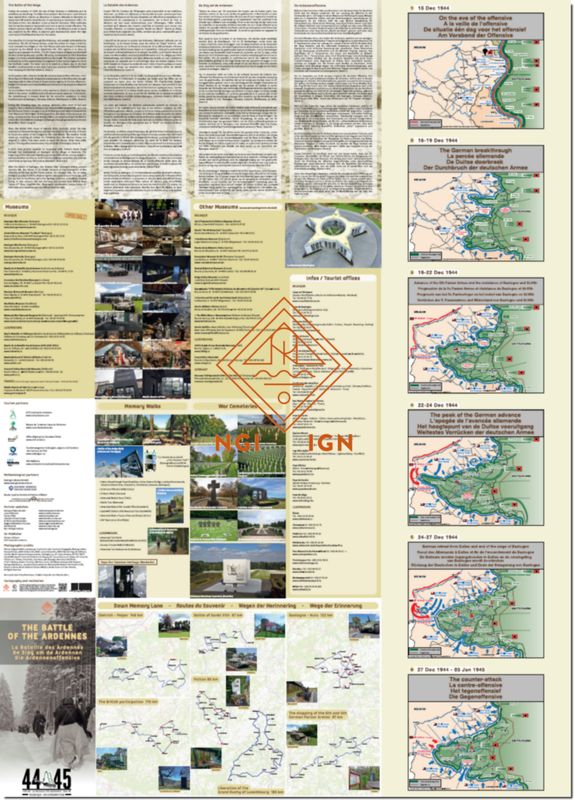
A current topographical map background on a scale of 1:200,000 shows the general course of the battle with the front line, the advances of the various armed forces, memorials, museums, and military cemeteries. Detailed sections also show specific locations with a particularly rich heritage of commemoration. An index also helps to locate nearly 500 memorial sites across the Belgian Ardennes and Luxembourg.
The reverse side presents the historical context and recounts the battle in four languages. Six maps illustrate troop movements, and seven themed routes are offered as “routes of commemoration.” Finally, the map provides a wealth of information about museums, visitor centers, commemorative walks, and war cemeteries.