Responsible for this content East Belgium Tourist Agency
Verified partner
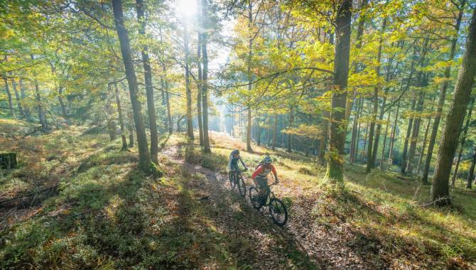
Mountainbike Hertogenwald Raeren
Photo: Dennis Stratmann, CC BY-SA, East Belgium Tourist Agency
Hint
Explanation
Selected alternatives for you
Mountain bike ride through the Ost-Hertogenwald and Raeren forest that requires advanced fitness and riding skills.
moderate
Distance 26.8 km
Duration2:25 h
Ascent337 m
Descent337 m
Highest point466 m
Lowest point312 m
Starting point is the old train station of Raeren next to the Vennbahn cycle path. Not far from the Marmorwerk, the first slopes are already waiting for you, and you dive deeper into the forest. Shortly afterwards, the western loop begins counterclockwise. You pass the Iterbach and immerse into the unique landscape. Not far from the Vennbahn you will ride rooty trails that are great fun. Then you climb uphill for a few hundred meters before crossing the Steinbach bridge. Here again, you ride a rooty and stony path that requires full attention. The last flowing trail brings you back to the café where you can treat yourself to a coffee or a cold drink.
Author’s recommendation
Take a break and unwind on the café terrace in an old railway wagon at the former railway station in Raeren.
Author
Tourismusagentur Ostbelgien
Update: December 15, 2023
Difficulty
S2moderate
Overall difficulty
moderate
Derived from the technical difficulty and the stamina requirements.