Our partners' latest offers
You can find all current offers on the websites or on the Facebook accounts of our partners. Choose your favourite ↓


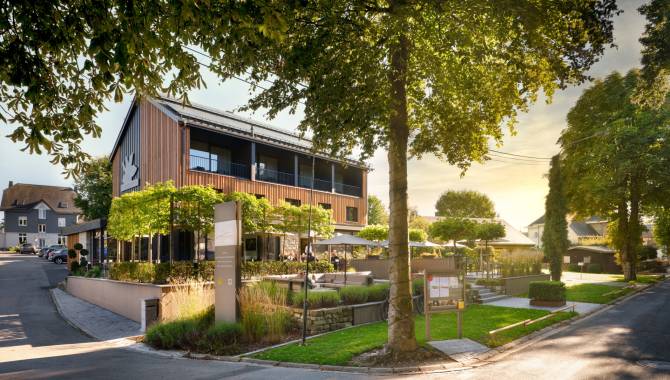
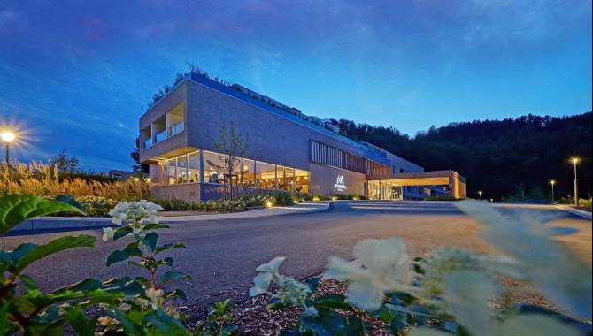
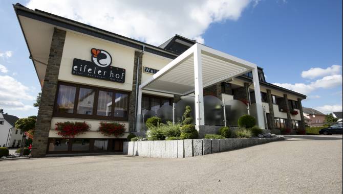
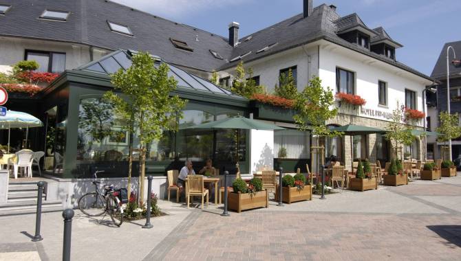
Get out of the ordinary and just indulge yourself. The wellness hotels in East Belgium invite you to a relaxing short holiday with their special feel-good arrangements and give you the perfect break from everyday life. Enjoy spa treatments and look forward to a luxurious room, soothing massages and treatments and, to top it all off, an exclusive menu in the high-quality hotel restaurants in East Belgium.


You can find all current offers on the websites or on the Facebook accounts of our partners. Choose your favourite ↓