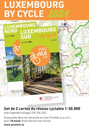
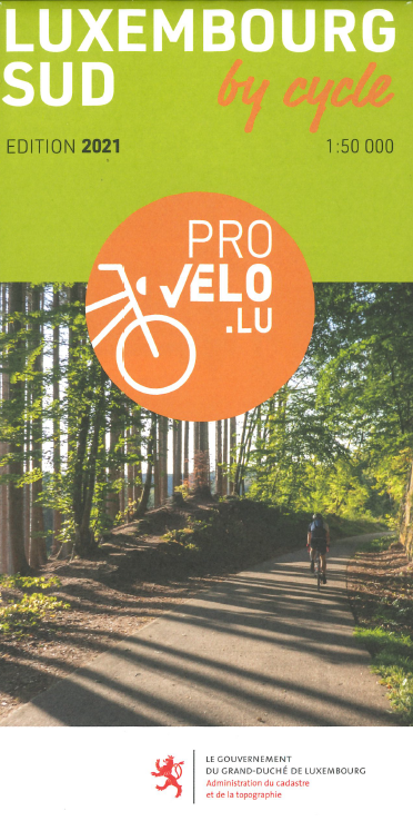
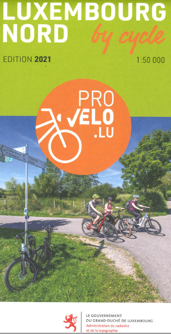
Cycling card - Luxembourg by cycle 2021
10,00 €
Set of 2 maps of the cycle paths of the Grand-Duchy of Luxembourg. Presenting the national and regional cycle path network at a scale of 1:50.000, this set of 2 maps (NORTH and SOUTH) informs the cyclist, among others, about the characteristics of the tracks, the differences in altitude and the distances of different cycling itineraries, as well as the points where you can rent a bicycle.
The cycle tracks that are using former railway tracks and thus presenting a rather flat topography are specially highlighted. The indication of CFL's railway network facilitates combinations of train and bicycle. Accommodation establishments that are certified with the bed+bike label, thus welcoming cyclists and offering them a set of special services, are also marked on the map and in the legend.
Technical details:
Issue 2021
Scale 1: 50,000
The explanations of the map are in German, French and English.
Published by the Lëtzebuerger Vëlos-Initiativ (LVI) a.s.b.l. with the support of cadastral administration.
ISBN 978-3-936990-75-1